
 ع
ع


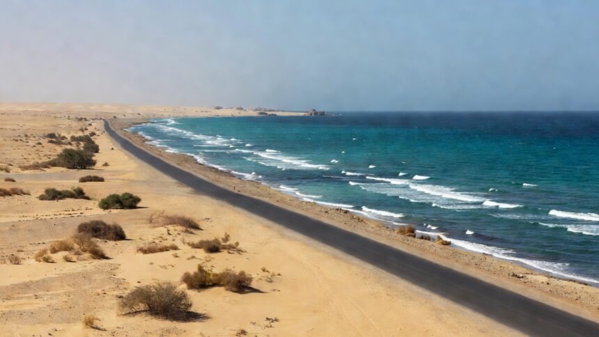
The National Center for Meteorology forecast active winds raising dust and sand across sections of the Makkah and Madinah regions beginning Wednesday, with the conditions set to persist through Friday. A forecast map issued by the center indicated the weather would affect the stretch between Yanbu and Al-Qunfudhah, focusing on the coastal road linking the two cities. The NCM assessment found that these winds would reduce horizontal visibility through blowing dust and sand while generating high waves along the adjacent Red Sea coastline. Dust-raising winds and high waves have been a recurring feature in the center’s regional outlooks for western Saudi Arabia.
High waves are expected to accompany the dust events along the coasts of the affected provinces, according to the center’s marine forecasts. NCM marine data places surface winds in the central Red Sea at 20 to 45 kilometers per hour during such episodes, a range capable of producing rough sea conditions. The center’s Sand and Dust Storm Regional Center has tracked similar patterns in prior months, with its April 2026 report documenting broad dust plumes extending from inland western areas toward the Red Sea coast. Such marine warnings form part of the NCM’s routine updates to support safe navigation and coastal activities.
The National Center for Meteorology has emphasized the potential for reduced visibility to create hazards for road users on the coastal corridor. Its assessments have consistently linked these dust-raising winds to temporary drops in visibility that require heightened driver awareness. In an announcement on its platforms, the center advised monitoring real-time updates during the August 5 to 7 period. Comparable forecasts earlier in 2026 prompted similar public cautions from the authority.
NCM figures from recent dust and sandstorm event summaries show frequent activity along the Red Sea littoral, particularly during transitional seasons. The center’s December 2025 report, for instance, highlighted a return to active dust regimes impacting both eastern and western sections of the kingdom including coastal zones. Satellite imagery analyzed by the NCM confirmed plumes moving offshore, aligning with the current outlook for Makkah and Madinah. These recurring events underscore the importance of the center’s ongoing monitoring network.
Motorists and residents in the specified areas should prepare for the forecast conditions, the National Center for Meteorology stated in its briefing. The authority’s data indicates that blowing sand and dust can significantly impair travel on exposed highways near the coast. Separate NCM marine forecasts for the Red Sea currently list northerly to northwesterly winds at 15 to 35 kilometers per hour in northern sectors, reinforcing the potential for elevated wave heights. Officials at the center continue to update maps and alerts as the system evolves.
The forecast arrives amid a series of weather warnings the National Center for Meteorology has issued for western Saudi Arabia in recent weeks. Its general weather state parameters classify such events as dust or sand raised by wind, whether over land or sea, with defined thresholds for reduced visibility. Regional programs under the center, including the dedicated sand and dust storm unit, supply the underlying observations and models that generate these predictions. Updated marine and terrestrial forecasts remain available through the NCM’s official channels for the duration of the alert.