
 ع
ع


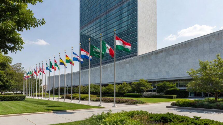
The General Authority for Survey and Geospatial Information sent a high-level delegation to the annual UN meeting, where it detailed the kingdom’s strides in applying the UN Integrated Geospatial Information Framework across various sectors. President Dr. Mohammed bin Yahya Al-Sayel, who headed the group, called for deeper global collaboration to harness emerging technologies for sustainable outcomes. The presentation examined ways to better integrate geospatial and statistical data while advancing land management practices, marine information systems and the global geodetic reference frame.
According to the delegation, artificial intelligence and digital twins represent key tools for modernizing geospatial operations and supporting informed policy decisions. These technologies can simulate real-world scenarios to aid in urban development and environmental monitoring. The Saudi team also advocated for standardized geographical names to reinforce cultural heritage and maintain control over national data resources.
GEOSA has played an active part in developing the Unified Geodetic Reference Framework for the Arab States, an initiative that promotes consistency in geospatial measurements throughout the region. Updates were shared on progress toward launching a UN Geospatial Center of Excellence in Riyadh that would foster innovation and capacity building among member states. Such efforts position Saudi Arabia as a regional leader in geospatial excellence.
The delegation used the platform to invite all UN member states to the third World Geospatial Information Congress that Saudi Arabia will host in Jeddah from November 16 to 19 in 2026. The event is expected to draw experts to discuss cutting-edge developments and collaborative strategies in the field. Hosting the congress demonstrates the kingdom’s dedication to advancing the global geospatial agenda.
During the session that ran from August 5 to 7, experts reviewed ongoing work on policy development and technical standards essential for effective geospatial use worldwide. The United Nations established the committee to coordinate international efforts and ensure geospatial data contributes effectively to sustainable development objectives. Increasing reliance on precise location-based information has made the committee’s work central to addressing global challenges ranging from climate adaptation to infrastructure planning.
Al-Sayel’s election as co-chair of the UN-GGIM bureau during the meeting further elevates Saudi Arabia’s role in steering international geospatial policy. The Saudi Press Agency reported that this leadership position will enable greater input on priorities including the integration of artificial intelligence in data management. It builds upon the authority’s previous initiatives such as organizing specialized gatherings on geospatial technologies and AI applications in the kingdom.