
 ع



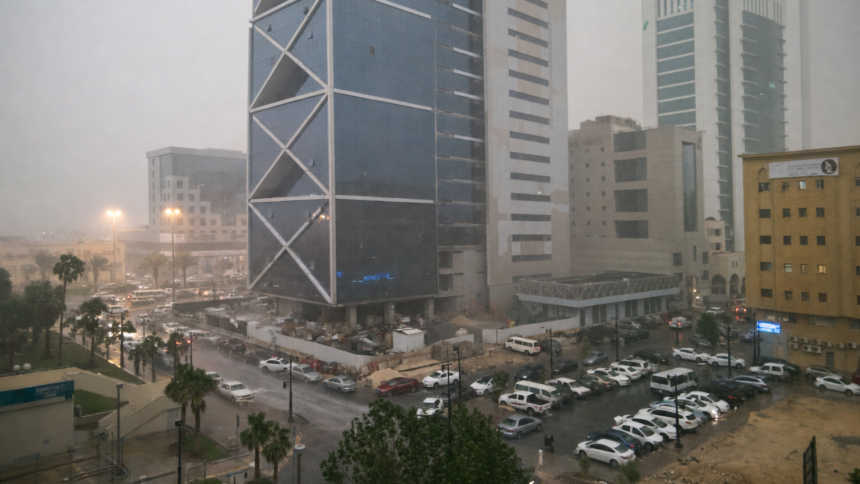
The National Center for Meteorology detailed in its Sunday report that thundery rains will continue over most areas of the kingdom from Monday until Friday, with the most intense activity focused on southwestern regions. Accompanying phenomena will include hail, strong descending winds, lightning and potential torrents that raise flash flood concerns, according to the center’s assessment. The National Center for Meteorology has activated its early warning system with red alerts in effect for several governorates, urging residents to monitor updates and avoid low-lying areas.
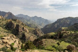
Southwestern provinces stand to bear the brunt of the multi-day event, the National Center for Meteorology reported, with moderate to heavy thunderstorms expected over Jazan, Asir, Al-Baha and the highlands of Makkah. Parts of Madinah may see lighter to moderate rainfall while active surface winds could stir dust and sand across Hail, Al-Qassim and the Northern Borders region. The center’s published map shows red-level warnings for heavy rain in locations including Al-Namas, Al-Mandaq, Al-Makhwah and multiple centers in Asir and Jazan through the period.
Dense fog alerts remain active in the Eastern Province under a separate red warning that the National Center for Meteorology said could reduce horizontal visibility to one kilometer or less until mid-morning in areas such as Al-Ahsa, Dammam and Qatif. Coastal zones along the Red Sea face elevated wave heights that may exceed two meters during thunderstorm activity, according to the center’s marine forecast. Temperatures will stay elevated, with daytime highs reaching 42 degrees Celsius in Riyadh, Madinah and Dammam on Sunday before the main rain band arrives.
The National Center for Meteorology draws on radar, satellite and numerical models to produce these extended outlooks, which it makes available through its website, mobile application and unified contact line. Historical patterns tracked by the center indicate that late September often marks the transition to increased autumn precipitation in the Sarawat mountain range, where orographic lift amplifies rainfall totals. Residents in affected governorates have been advised to secure loose objects and refrain from crossing valleys during periods of heavy downpours.
Separate forecasts from the National Center for Meteorology project that the weather system may extend its influence northward and eastward later in the week, potentially bringing isolated thunderstorms to parts of Riyadh and Al-Qassim by midweek. The center’s climate monitoring division has noted in recent publications that such events support groundwater recharge but also heighten the need for robust drainage infrastructure in rapidly urbanizing areas. Official bulletins continue to emphasize precautionary measures including following civil defense guidance during active weather phases.