

 ع



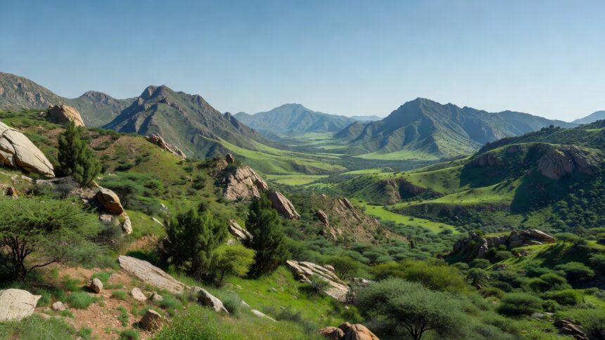
Heavy thunderstorms capable of triggering flash floods are expected across parts of Jazan, Asir, Al-Baha, Makkah and Madinah on Sunday, the National Center for Meteorology reported. The center’s forecast indicated that the rainfall may be accompanied by hail while active winds will stir up dust and sand in the affected areas. Such conditions reflect the continuation of a weather system that has brought repeated alerts in recent weeks across the southwestern and western parts of the Kingdom.
Light to moderate thunderstorms will develop over parts of Tabuk, Al-Jouf, Hail, Al-Qassim and the Northern Borders regions, according to the center. Active winds raising dust and sand may also influence sections of Najran while fog could form over coastal parts of the Eastern Province and the Makkah region. The National Center for Meteorology placed these developments within a broader pattern of instability that has persisted through the early days of October.
Temperatures are forecast to reach 40 degrees Celsius in Makkah, Madinah, Dammam and Buraidah while Riyadh will see a high of 39 degrees, NCM data shows. Other cities will range from 36 degrees in Hail and Jazan down to 25 degrees in Al-Baha with humidity climbing as high as 100 percent in Dammam and 90 percent in Jeddah. These readings come as the center tracks both the heat and moisture feeding into the developing thunderstorms.
The latest bulletin aligns with the National Center for Meteorology’s autumn climate outlook that projected above-average rainfall for October as the peak of a wetter-than-normal season across much of Saudi Arabia. That assessment, issued last month, highlighted elevated risks for heavy to very heavy precipitation in regions now under active watch. The center has updated its forecasts regularly as the system has evolved over the past several days.
Surface winds over the Red Sea will blow northwesterly to westerly at 15 to 40 kilometers per hour in the north while shifting in other sections and reaching up to 50 kilometers per hour near thunderstorm clouds, the center stated. Wave heights will generally range from one to two meters but can exceed that level in the north and during storms, producing slight to moderate sea conditions that turn rough at times. Similar wind patterns over the Arabian Gulf will reach speeds of 50 kilometers per hour in association with thunderstorm development.
The National Center for Meteorology continues to monitor the progression of this weather system and will issue further updates as needed. Its assessments draw on real-time satellite and ground observations that have consistently signaled the potential for sudden downpours in vulnerable terrain. Officials at the center have emphasized the localized nature of the heaviest impacts within the broader forecast zones.