
 ع



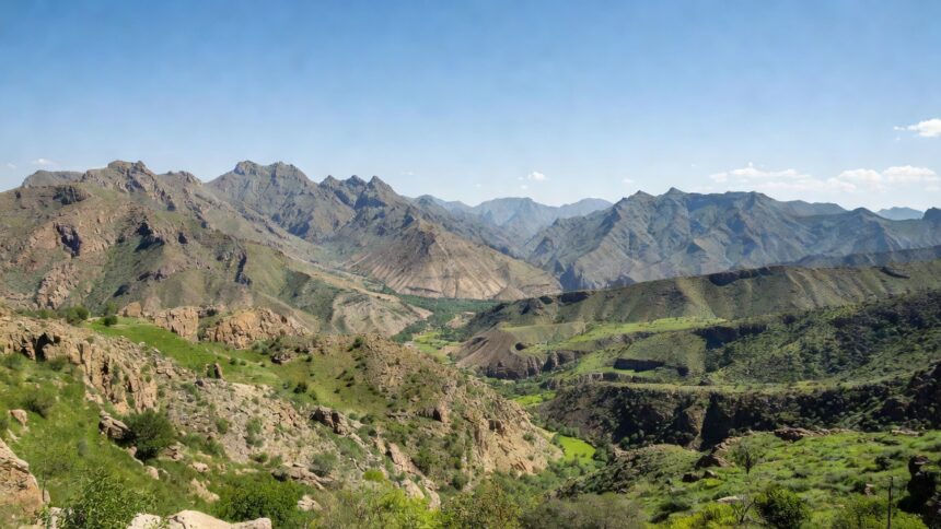
The National Center for Meteorology has placed parts of Jazan, Asir, Al Baha and Makkah province under the highest alert for heavy to torrential thunderstorms that could trigger flash floods through Friday. Conditions are expected to intensify midweek in the southwest with accumulations reaching 50 millimeters or more per hour in some locations, accompanied by hail, lightning and downdraft winds exceeding 60 kilometers per hour, according to the center. Moderate rainfall is also forecast for sections of Najran, Riyadh, the Eastern Province and Madinah region during the period, the NCM assessment found.
NCM data shows the current pattern is part of a broader spell of unstable weather that has affected the kingdom since mid August, with repeated thunderstorm clusters producing localized flooding in highland and coastal zones. A Gulf News summary of center bulletins indicated that Jazan and Asir have seen the most frequent heavy events in recent weeks, prompting heightened readiness from civil defense units. The center has advised residents to avoid valleys, low lying areas and water channels where rapid runoff can occur without warning.
Surface winds over the Red Sea will blow northwesterly at 20 to 50 kilometers per hour during the forecast window, generating moderate to rough seas in the northern sector, NCM figures show. In the Arabian Gulf, lighter southeasterly winds are expected to produce calmer conditions with wave heights generally below one meter. These marine impacts form part of the same frontal system driving the inland rainfall, the center reported.
Civil defense authorities, citing NCM projections, have called on motorists to reduce speeds, avoid travel during peak rain hours and monitor official updates closely. Emergency response teams remain positioned in vulnerable governorates to handle any road closures or rescue needs that may arise from flooding. Similar alerts issued earlier in the month led to proactive evacuations in flood prone districts with no reported casualties, according to interior ministry statements.
The National Center for Meteorology plans to release updated maps and warnings as the system evolves, with particular attention to the potential for dust storms that could lower visibility to under one kilometer in affected zones. Regional climate trends tracked by the center indicate an increase in the intensity of autumn precipitation events across the southwest in the past decade. Residents in the listed provinces are urged to prepare emergency supplies and secure outdoor property ahead of the expected peak activity on Thursday and Friday.