
 ع
ع


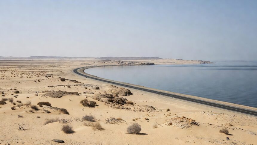
The National Center for Meteorology forecast on July 15, 2026, that high dust-stirring surface winds will sweep much of Saudi Arabia’s western coast beginning the following day and continuing through July 25. An animated map released by the center shows the activity focused along the coastal road from Yanbu to Jazan, with effects reaching eastward to affect portions of the Makkah and Madinah regions. The center’s data indicates these winds could reduce horizontal visibility to near zero in the impacted zones, prompting the need for heightened public awareness during the ten-day period.
According to the National Center for Meteorology, the forecast draws on current meteorological readings that point to sustained surface winds capable of lifting dust particles across the specified corridor. The center updates such visualizations regularly to track the movement of air masses and their potential to degrade air quality in coastal and inland areas alike. Residents and travelers along the Red Sea route should prepare for these conditions, as the center’s assessment underscores the risk of sudden drops in visibility that could disrupt daily movement.
Figures from the Saudi Ministry of Health show that dust events in the western provinces have correlated with a rise in respiratory-related hospital visits, increasing by as much as 20 percent during comparable summer episodes in recent years. The Public Health Authority has issued guidance recommending that vulnerable groups, including those with asthma or cardiovascular conditions, minimize time outdoors when dust concentrations climb. This advisory aligns with the National Center for Meteorology’s current outlook, which arrives during a season when such phenomena occur with greater regularity across the Arabian Peninsula.
A King Abdullah University of Science and Technology analysis of regional climate patterns from 2023 documented an average of 15 significant dust days annually in western Saudi Arabia, attributing the frequency to a combination of thermal lows, arid terrain and shifting land use. The National Center for Meteorology incorporates similar long-term observations into its short-range predictions, allowing authorities to anticipate periods of elevated risk. Transportation officials, citing past incidents tied to poor visibility, have stressed the importance of vehicle maintenance and cautious driving speeds on affected highways.
The National Center for Meteorology’s animated map further details how the dust-laden winds may progress daily, illustrating potential spillover from the primary coastal path into adjacent administrative districts. This visualization, based on integrated satellite and ground station inputs, provides a day-by-day projection through the end of next week. Updates from the center will continue to refine the forecast should atmospheric conditions evolve, ensuring that emergency services and the public receive the most current information available.
Environmental monitoring by the Saudi Meteorological authority has historically linked northwest winds in summer to the mobilization of fine particles from desert expanses bordering the western provinces. The present alert from the National Center for Meteorology follows this established pattern, reinforcing seasonal expectations for the Red Sea littoral. Local governments in the impacted areas have been notified to coordinate response measures, ranging from road signage to public announcements, in line with protocols developed for recurring dust episodes.