
 ع
ع


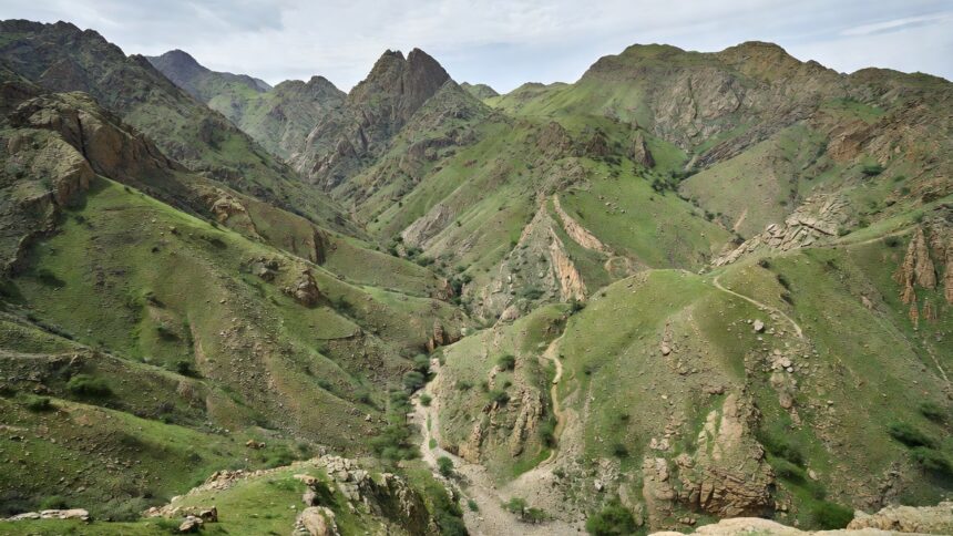
The National Center for Meteorology placed Al-Baha and Asir under red alert status for heavy rainfall on August 17, 2026, signaling the highest warning level for potential severe weather impacts across multiple governorates in both provinces. Saudi Civil Defense simultaneously called on residents to take precautions and refrain from approaching areas prone to water buildup, valleys or dams where flash flooding could occur rapidly. The coordinated alerts reflect ongoing monitoring of unstable atmospheric conditions that have developed over the southwestern highlands, where terrain often amplifies rainfall effects.
According to the National Center for Meteorology, the forecast includes moderate to heavy rains accompanied by dust storms with winds reaching 60 kilometers per hour, hail falls, thunder strikes and reduced horizontal visibility. These conditions are expected to persist over coming hours, raising the likelihood of sudden runoff in wadis and low-lying zones that characterize much of the two regions. Civil Defense authorities have reiterated the importance of heeding official updates through designated channels to ensure public safety during the event.
National water resources assessments place average annual rainfall in the mountainous zones of Asir and Al-Baha between 400 and 600 millimeters, far exceeding the kingdom-wide average of roughly 100 millimeters per year. This orographic precipitation pattern, driven by the Sarawat Mountains, contributes to the regions’ vulnerability to intense, localized downpours that can trigger flash floods even after relatively short bursts of rain. Such assessments underscore why these provinces frequently feature in the center’s early warning issuances throughout the wetter months.
A comprehensive review of flash flood research in Saudi Arabia documented approximately nine major events between 1993 and 2013 that affected more than 13,000 people nationwide, with southwestern areas repeatedly among those impacted. International disaster databases have similarly recorded an upward trend in flood frequency per decade, often linked to intense thunderstorm activity in highland terrain. The National Center for Meteorology has responded to comparable patterns in recent years, including red alerts for Asir that preceded heavy rains and thunderstorms capable of producing localized flooding.
The National Center for Meteorology maintains an automated early warning system that classifies threats into red, orange and yellow tiers based on anticipated severity and potential disruption. Red-level notifications, as activated for Al-Baha and Asir, indicate conditions likely to produce significant hazards such as flash floods or reduced visibility that could affect travel and outdoor activities. Platform data for the current alerts highlight active warnings across several governorates within the two provinces while encouraging continuous consultation for updates as conditions evolve.
Civil Defense operations in the southwest have addressed multiple weather-related incidents in the past decade, drawing on lessons from earlier floods that damaged infrastructure and disrupted communities in valley areas. The National Center for Meteorology continues to refine its forecasting models to provide earlier notice of such developments, integrating real-time observations from regional stations. Officials have advised the public to prioritize safety measures and avoid unnecessary movement in affected zones until the alerts are lifted.